
When you’re setting up your benchmark survey, you’ll need to upload shapefiles (or shape files) to Polco. A shapefile is a format that stores the geometric location and attribute information of geographic features.
How we use shapefiles:
- Subareas: We use shapefiles to understand how your community is delineated by groupings like ward, voting precinct, city council district, etc. We can then create a random sample of residents accordingly.
- Maps: We use shapefiles to create maps that you can use to view, understand, and analyze the results of your survey (i.e. comparing responses from various areas of your municipality).
When you open shapefiles in ArcGIS, they will look like this:
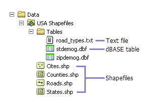
Image via ArcGIS
You’ll want to locate the file folder that defines your jurisdiction’s boundaries. Make sure that the file is zipped (not multiple files) in order to upload it to Polco. Likely, when you receive the shapefiles, they will already be zipped. If not, you can combine the files into one zipped file following these instructions.
When you’re ready to upload your shapefiles, login to your Polco profile.
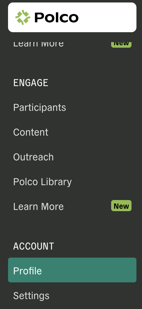
In the left navigation bar, click “Profile.”
Complete the fields under “Profile.”
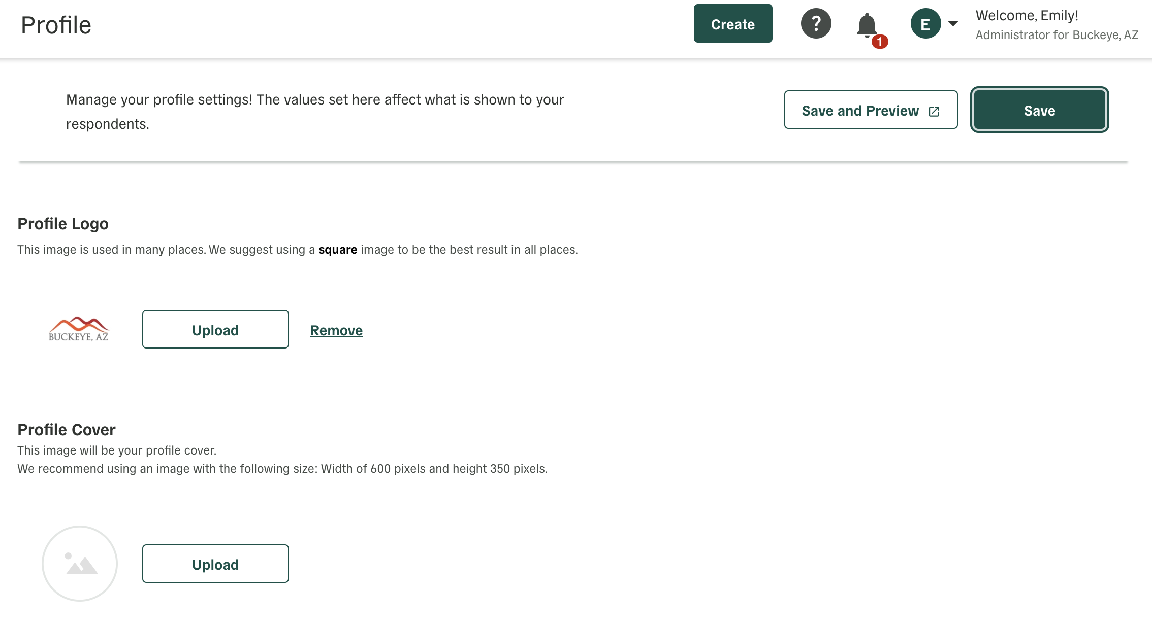
Make sure to add your logo and description.
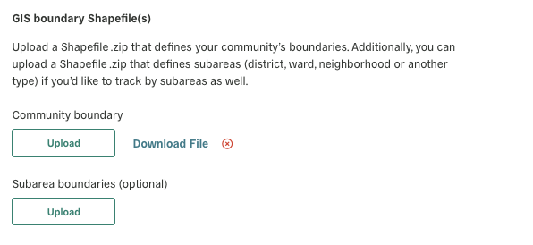
Once you’ve completed this section, scroll down to “Sampled Survey Settings.”

Complete the fields under “Sampled Survey Settings,” including uploading your shapefiles (as one zipped file).
When you’re done, scroll back up and make sure to click “Save” in the top right.
